Imagining High-Speed Rail for the Middle East
A community exploration into high‑speed rail linking the countries of the Levant (Syria, Lebanon, Jordan, Israel, and Palestine) and their neighbors.
What if you could travel the Middle East by train?
Imagine boarding at the pyramids of Giza and stepping off on the beaches of Beirut — breakfast in Egypt, dinner in Lebanon. The heart of the Levant is smaller than France; everything is really close!
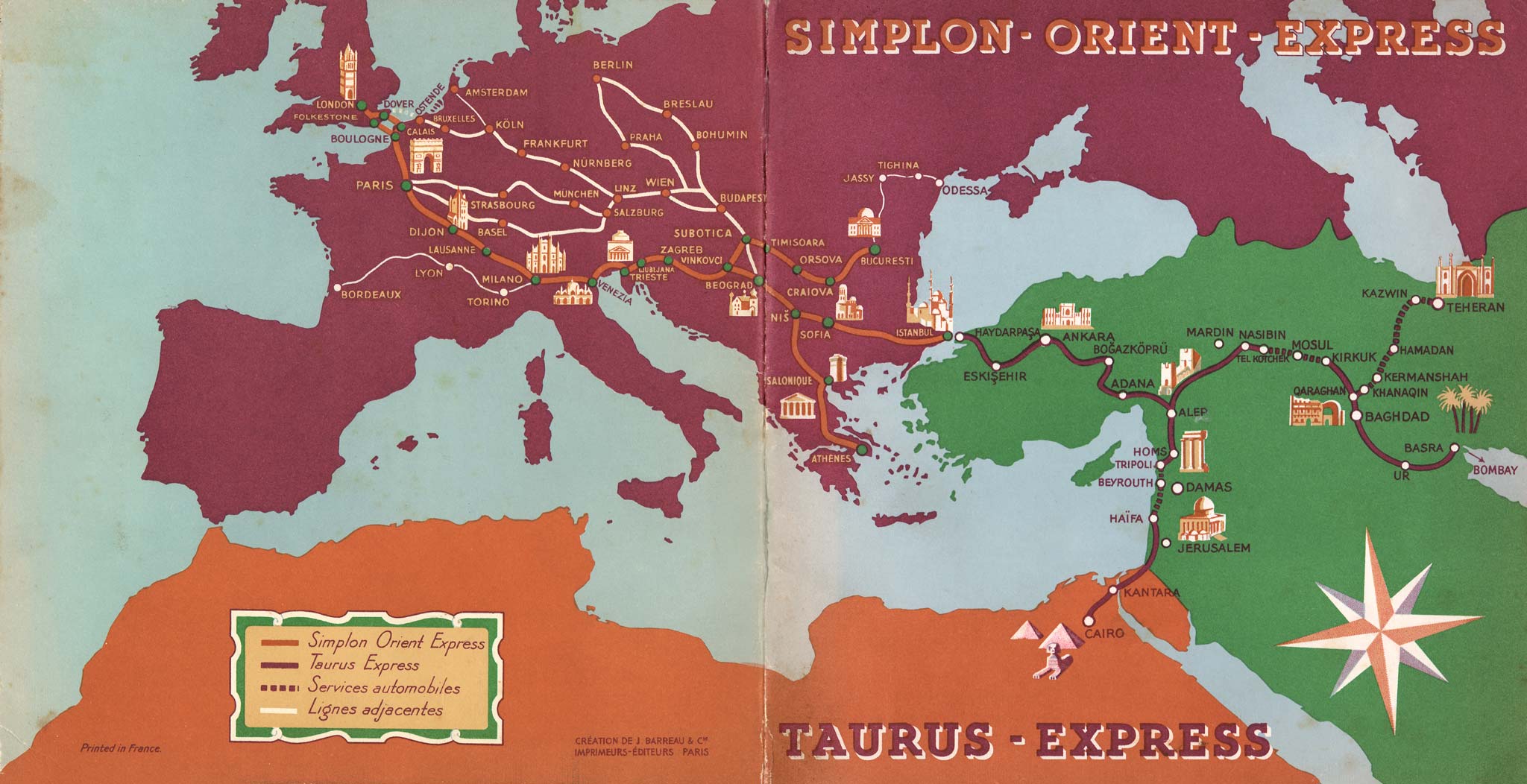
A century ago, rail nearly linked London to Cairo.
Luxury through-services like the Simplon–Orient and Taurus Express once carried travellers from Europe deep into the region. Nearly all the pieces were in place.
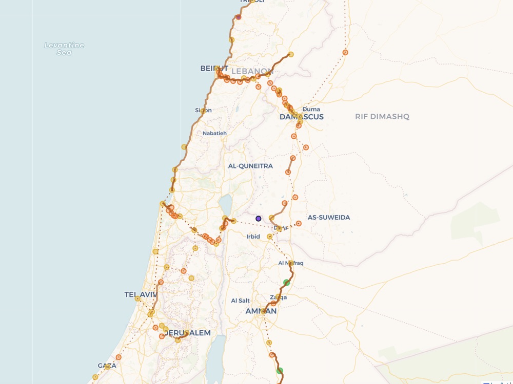
We’re excavating the historic routes.
Stations, routes, corridors — we identify what once was. The map shows exactly what we know, and where we need your input!
{
  "station": "Baalbek",
  "name_ar": "بعلبك",
  "country": "Lebanon",
  "precision": "exact",
  "sources": [
    "Baalbek Station — GreenArea",
    "Railways of Lebanon — Int. Steam"
  ]
}20+ routes, 200+ stations — every fact cited.
Compiled from dozens of sources, with every attribute traced to a citation and kept openly available. No hand-waving — you can check our work.
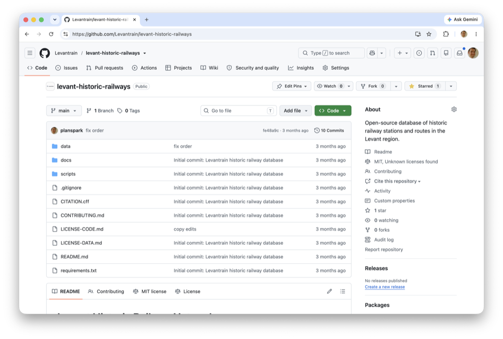
Built in the open, and shipping continuously.
The data and the tooling are open, built in public. Watch it evolve in the build log and specs, or check our GitHub.
Get on board.
Follow Levantrain on social media, join the Google group, and find out how you can contribute.