How we georeferenced a 1916 military map into live track
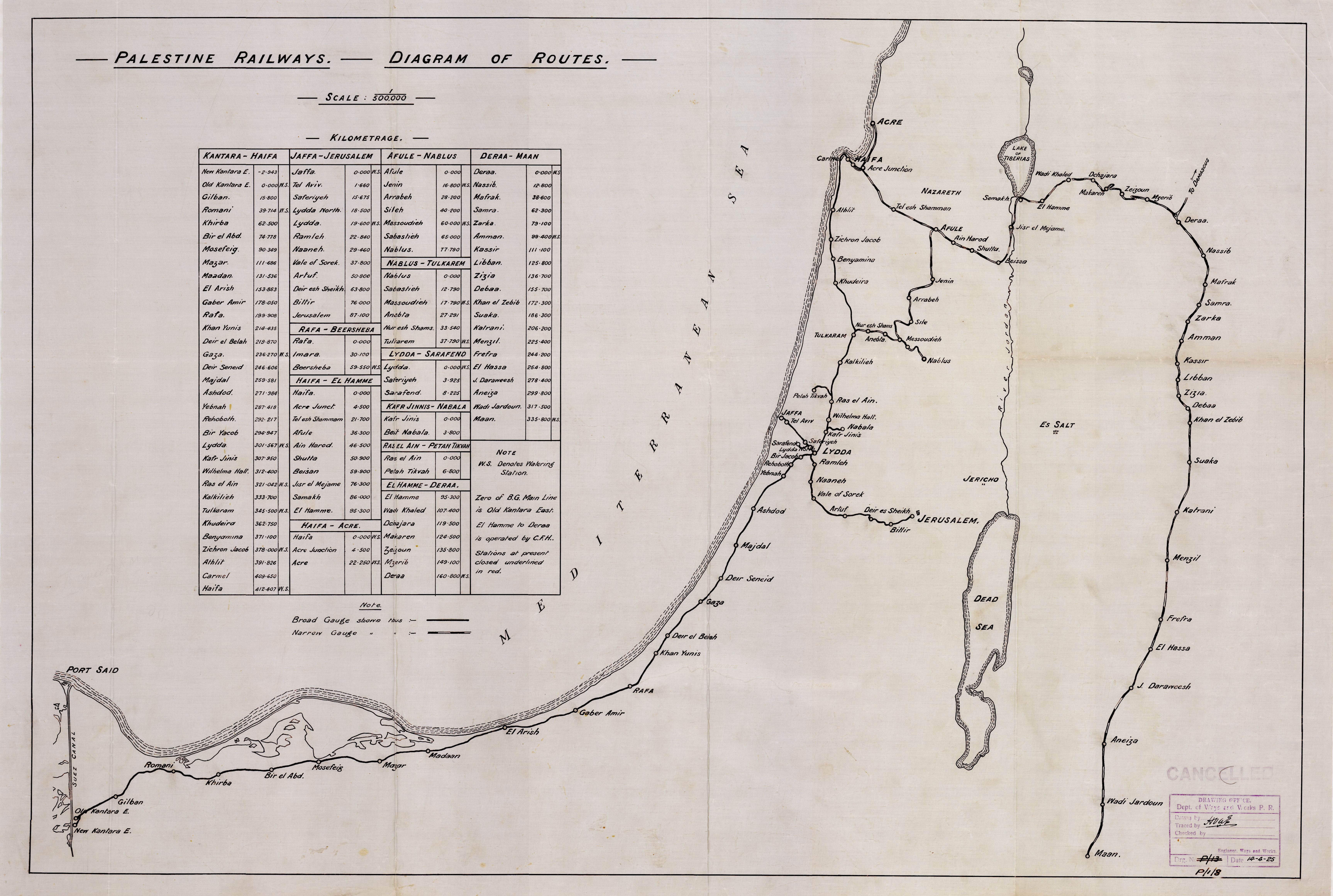
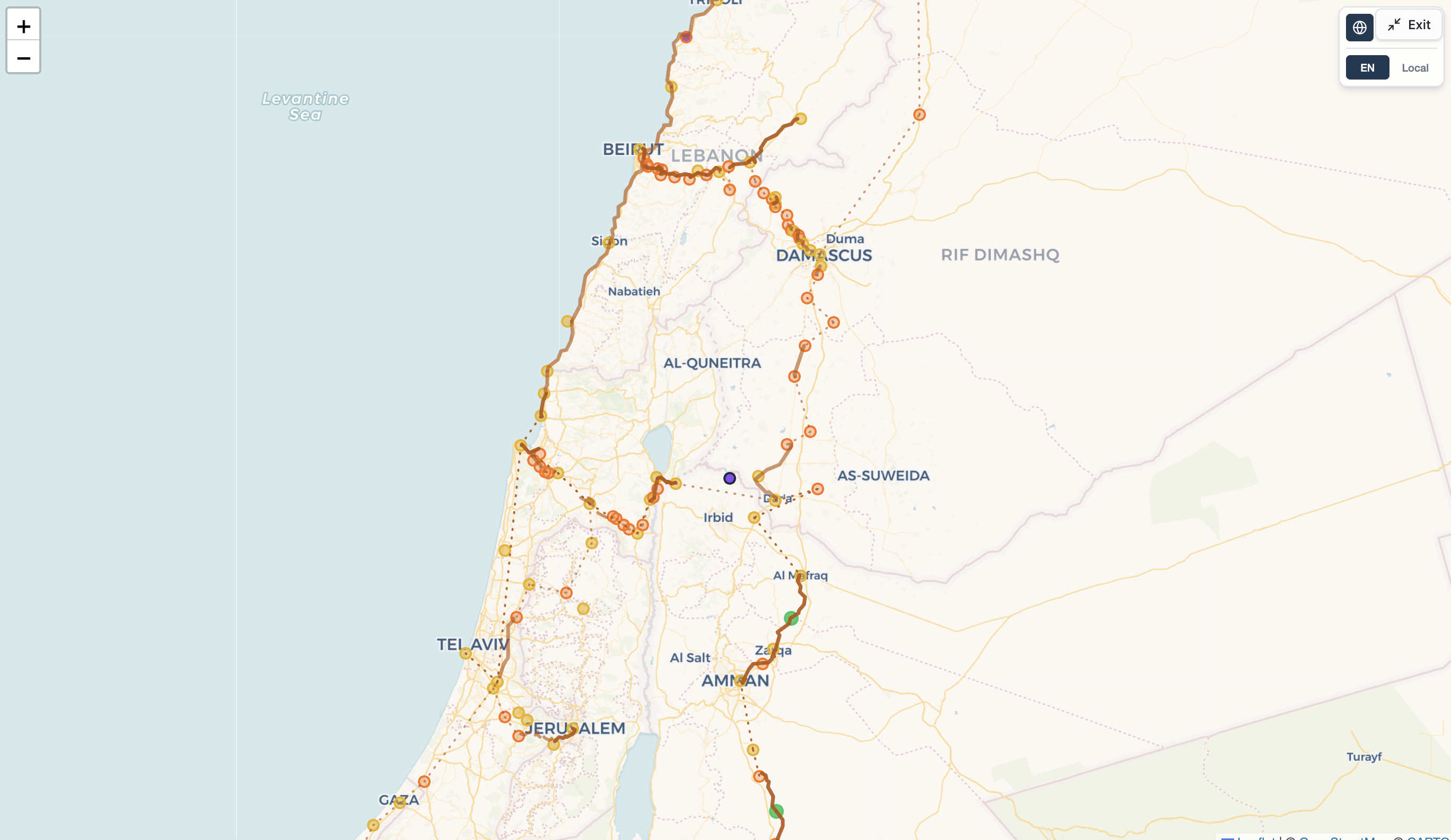
A follow-up to our 1925-map post: this time we georeferenced a 1916 War Office map — reading it at full resolution to pull positions, line status, and real geometry from the map itself, not just station order.
Tim Bonnemann · July 26, 2026 · 3 min read