Major map update!
Happy Friday! A quick note to share the biggest update since we launched: Levantrain’s map — and the data behind it — just took a serious leap forward.
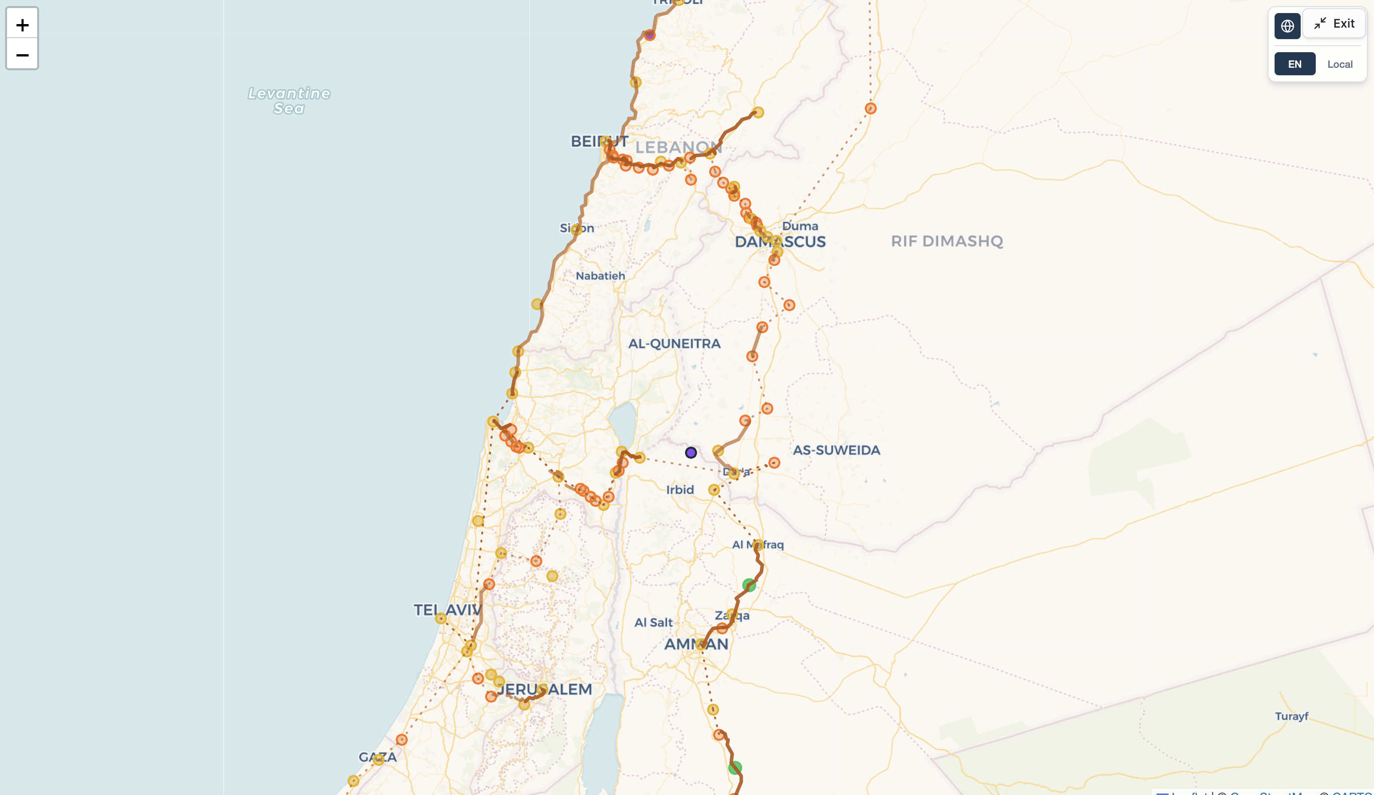
When we started, the map was little more than a hand-drawn sketch of around 80 stations. Today it holds 218 stations across 21 historic railway lines, from the Sinai coast to the Hejaz, from Jaffa to Damascus. That’s more than double where we began.
But it isn’t just bigger — it’s honest. Every station, route, and segment now traces back to a real source, with dozens of references and more than 1,400 individual citations behind the map. And more than 100 route segments carry actual track geometry matched against OpenStreetMap, so the lines follow where the rails really ran, not a straight-line guess.
The map itself is smarter, too. It now shows how confident we are in every point: a station we’ve pinned exactly looks different from one we’ve only placed at its town, and a documented corridor looks different from a best guess. We’d rather show you what we don’t know than fake certainty.
Plenty more happened under the hood — the full dataset is open and published under an open license, the site got faster and more shareable, and we tightened up security and testing.
There’s a long way to go — this is a foundation, not a finish line. But it’s a real one. Take the new map for a spin, and tell us what you find.